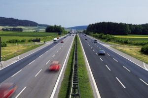
Total length of the express way is 598.78 kilometers. This includes 123.7 kms Kurnool feeder and 104.05 kms Kadapa feeder. There will be 43 major bridges, 6 railway over bridges and 22 interchanges across the express way.
The cost of land acquisition is estimated at Rs. 2000 crore and the total project cost (civil) is Rs. 27265 crore. It is proposed to design for a speed of 120 kmph with straight alignments, avoiding habitations and locations of archaeological and religious importance.
Following are the details of total land required for the project, excluding forest land – in hectares: 9324 hectares.
Anantapur district: 1268 hectares
Kurnool district: 2281 hectares
Prakasam district: 1600 hectares
Guntur district: 1600 hectares
Kadapa district: 824 hectares
The Government has already started the acquiring land in respective districts. Survey and peg-marking and alignment works have been under progress in the districts.